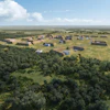
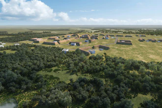
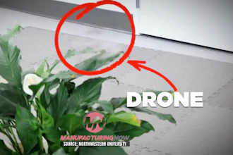
Fire-ravaged Alberta, British Columbia will use drones to investigate the cause of a huge blaze that has displaced 88,000 people and consumed over 700 square miles.
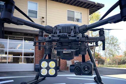
According to Reuters, drones will use cameras outfitted with infrared, ultraviolet and traditional optical cameras to pinpoint the hottest part of the fire and trace it to its source based on time, wind and other factors. The cameras will shoot about 800 images, which are then stitched together in a process called fire-mapping.
The images, if successful, will zero down to a spot where the fire is believed to have started. From there, investigators will search on foot for the cause.
Apparently helicopter blades can create wind that would disturb the scene, which forces pilots to stay about 1,000 feet in the air. A drone can capture images from 100 feet.
Even so, drones pose challenges. Limitations with battery life mean lots of stops for fresh power, making it more difficult to precisely shoot different parts of the area. Still, the flying technology could help get answers quickly.
This work, which begins on Tuesday, is being coordinated with the other air traffic, including air tankers and helicopters, but the technology has also found its way into the hands of consumers who might actually be hampering fire suppression efforts. A report Friday said several unauthorized drones were spotted around Alberta, British Columbia, and firefighting agencies are urging the public to please avoid the areas with these devices. An unauthorized drone flying near a British Columbia fire last August grounded eight helicopters and five planes for more than three hours, causing significant delays in authorities’ ability to fight the fire. So, hobbyists -- for the love of Canada: please ground your drones.