BERLIN (AP) — Images taken by a new European satellite show the levels and distribution of air pollutants around the world, including ash spewing from a volcano in Indonesia.
The European Space Agency released images Friday made by its Sentinel-5P satellite that show high concentrations of nitrogen dioxide in parts of Europe on Nov. 22.
Nitrogen dioxide is mainly caused by vehicle emissions and in industrial processes.
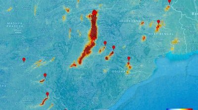
Another image shows high levels of carbon monoxide, commonly produce by fires, in Asia, Africa and South America.
A series of images also show sulfur dioxide, ash and smoke from the Mount Agung volcano in Bali last month.
Sentinel-5P, launched Oct. 13, can map levels of nitrogen dioxide, methane, carbon monoxide and other pollutants that can be hazardous to human health or contribute to global warming.